CHESTNUT TRAIL
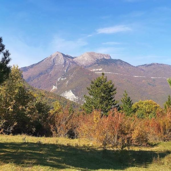
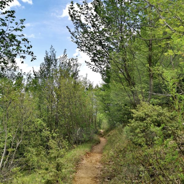
If you want to experience a more adventurous recreational walk that passes through a natural variety of unexplored flora and living fauna, under the beauty of the panoramic views of Peja, the Dukagjin mountain range, and the Rugova Gorge, then we present you with this unique path as an attraction opportunity that is suitable for all ages and genders.
The recreational hiking trail known as the “Chestnut Trail” starts right from the city of Peja, following the direction of the Rugova Gorge. Upon entering the Gryka e Rugovës (near the Patriarchate of Peja), there is a road that leads to the village of Levoshë, from where you will then access the path “Shtegu i Gështenjave.” For those who want to shorten the walk on the path, access can be done by entering the Hidrodrin building on the left and then continuing along the Pelene path.
The start of the recreational hike begins at an altitude of 645m, while the entire path has a length of 8.2km. From Levoshë, the path passes through an attractive mountain area known for its dense vegetation, especially the chestnut tree from which this path takes its name, as well as the wild animal life, especially the great variety of mountain birds. The path connects to the well-known part “Maja e Zezë,” where it joins the point where the path of “Peklenes” passes at an altitude of 800m. Reaching this point is not difficult, and from here, the magnificent views of the panorama of the city of Peja begin to appear. From this point, you can decide to end your hike and return to Peja along the asphalt road from Maja e Zezë or continue your hike and experience further adventures by following the Peklenes trail to climb to Qafa e Peklenes at an altitude of 1350m or even further to the top of Vjellak at an altitude of 2014m. You can also continue further along the ridge on the “Peklenes Trail,” which is one of the most attractive trails with a magnificent view in Peja.
The duration of this hike is approximately 3 hours.
Chestnut Trail
Publications

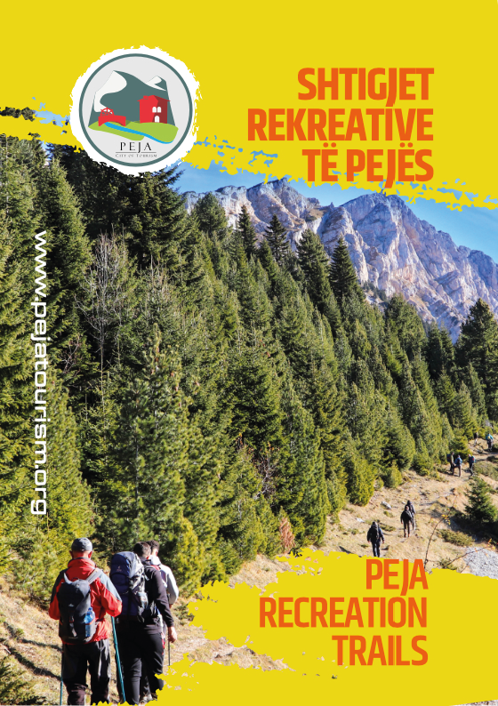
Peja Recreation Trails
Ascent/Descent:  4 m 4 m  599 m 599 m | Distance: 2.88 km |


