PEKLENA TRAIL
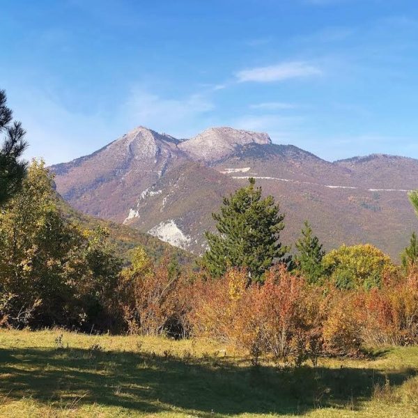
The Peklena Path offers an attractive walk through the most unique ridge in the municipality of Peja. This path provides unique experiences for all recreation lovers, especially those seeking adventures along less trafficked trails. It is an untrodden path with a rich nature of flora and fauna, offering magnificent views along the way.
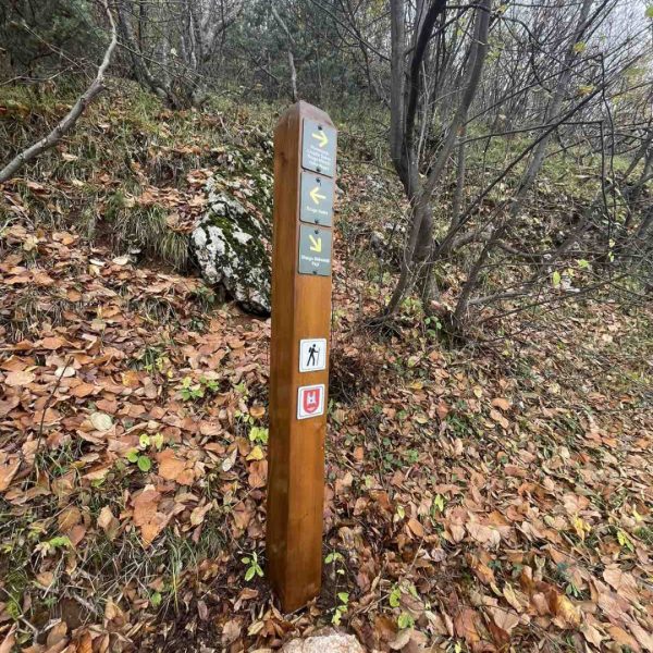
The Peklena trail is 6 km long, and the hike takes approximately 4 hours to complete. It starts from the city center or the Tourist Information Office at an altitude of 530m, continuing on the north-western side of the city, following the direction to Maja e Zezë. The initial part of the trail, 4 km long, is paved, leading to the start of the Peklena path where you will find signage and an information board with a map of the trail. A slow and easy walk is recommended to conserve energy and enjoy the views of the city of Peja, the Radoniqi Lake, and the Sharri mountains in the rest of Kosovo. Since it is a recreational trail, it is suggested that the walk be pleasant and without strain.
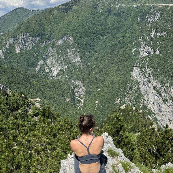
After 2 hours of walking, you will reach the “Peklene Pass” section at an altitude of 1350m, which presents a natural beauty with a magnificent panorama. At this point, a longer and relaxing break is recommended. The path then continues, crossing the asphalt road, climbing the iron stairs, and proceeding along the unique, seldom-trodden ridge. The views offered include the city of Peja and the Radoniqi Lake on the southeast side, and the Sushica canyon and Maja e Hasani at 1900m above sea level on the north side, making your walk a fun experience of the wild nature in this region.
Another ascent can be made from the Levosha path, which is also very attractive and full of experiences. On the way back, after reaching the well-known spot “te antena,” you can choose to return via the asphalt road from Maja e Zezë to Peja. However, our suggestion is to avoid the asphalt and take the Lëndina path direction, leading to Tabje and then Peja.
Shtigjet Rekreative
Publikimet

Peja Recreation Trails
Ascent/Descent:  -- --  -- -- | Distance: 5.91 km |


